
Five days in photos: Integrated Water Management field school

A group of people standing on a rocky shore

SAIT instructors Pieter Aukes and Danica Nunes and students from the MacPhail School of Energy got hands-on with all things water during an annual Integrated Water Management (IWM) field school this semester.

Throughout their studies, IWM students explore water ecosystem preservation, water management and stewardship, and hazard management.

This field school is about learning how to troubleshoot when equipment fails, understanding proper sampling techniques and making sense of data — for example, is low flow in a river consistent with weather trends.

And, field school looks like fun, right?!

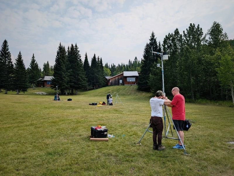
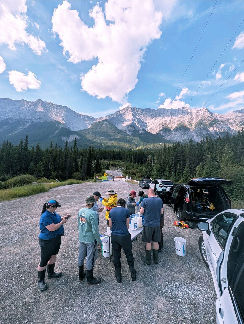
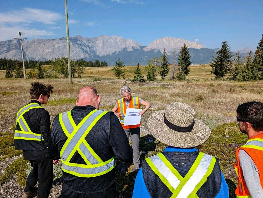
🌦️Day 1: Install meteorological data collection stations at the University of Calgary’s Barrier Lake Field Station.

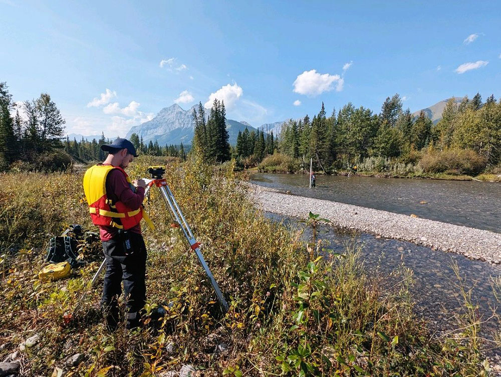
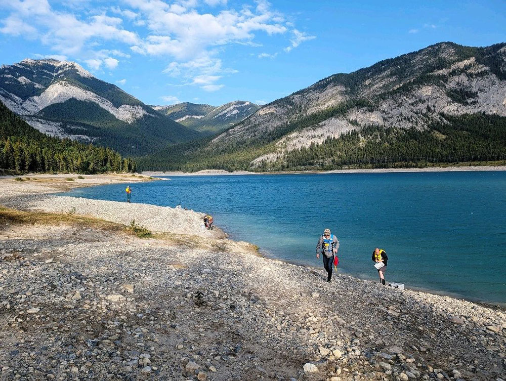
🏞️Day 2: Take a river cross-section survey of the Kananaskis River and quantify river flow.

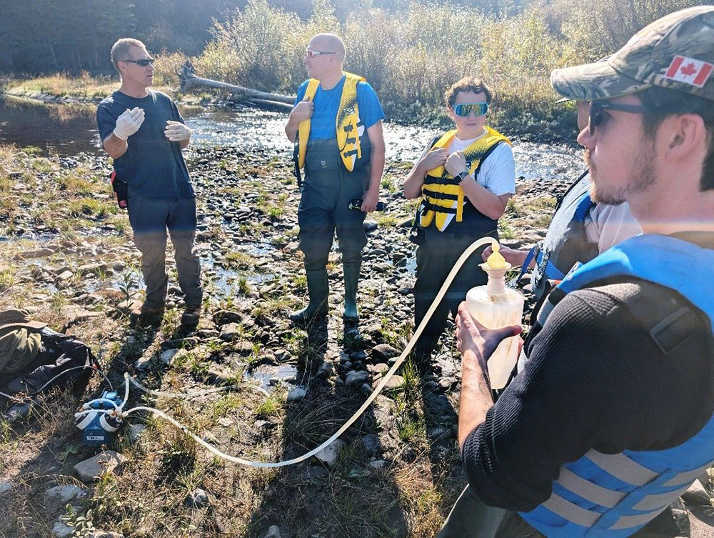
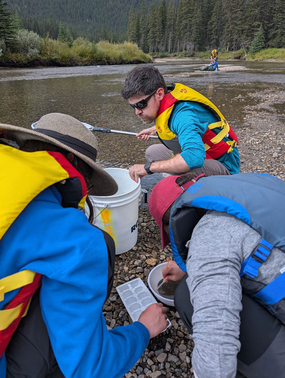
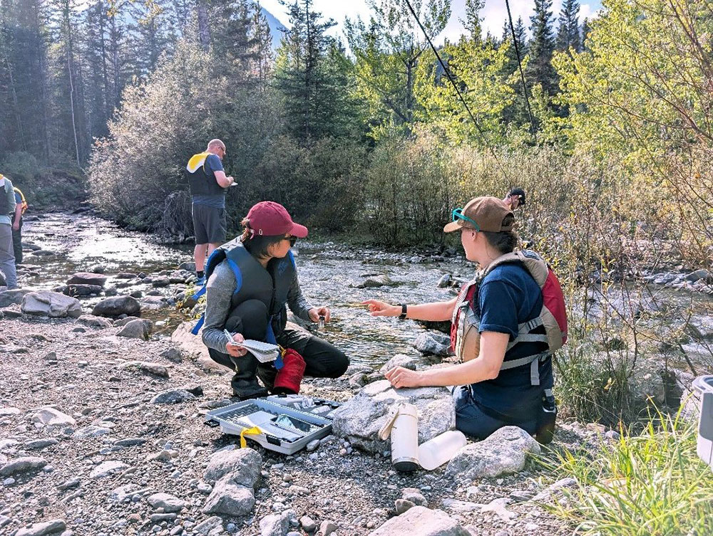
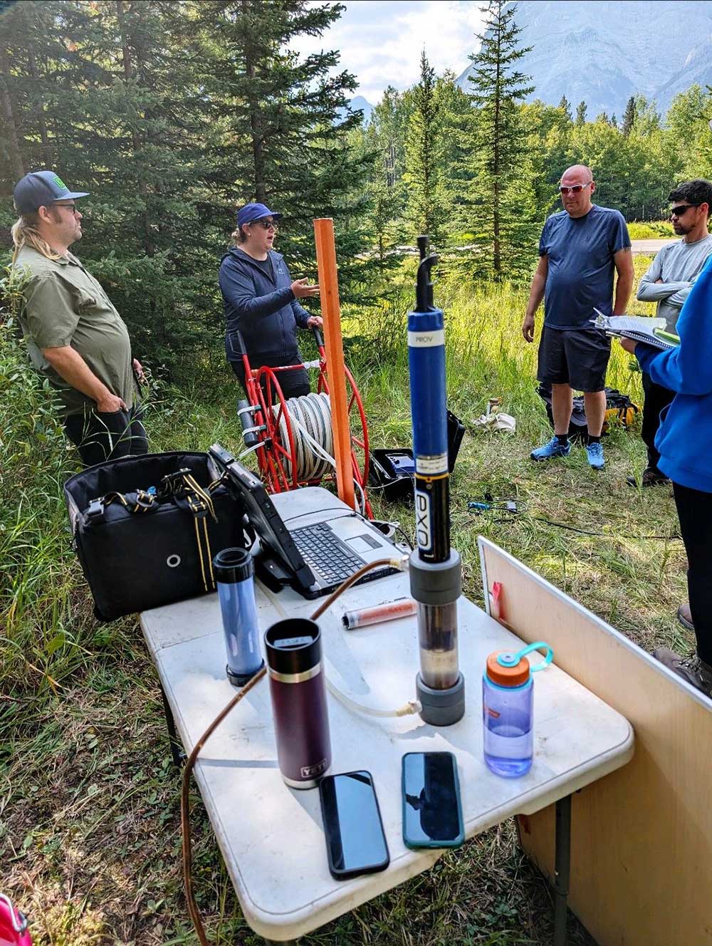
🧪Day 3: Learn about water quality along the river and build sampling skills.

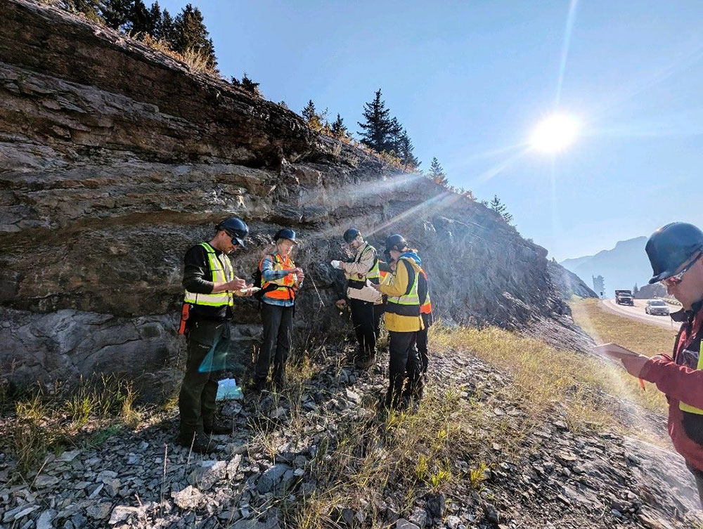
🪨Day 4: Explore the connections between rocks and water, plus groundwater sampling.

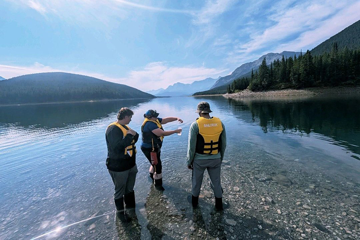
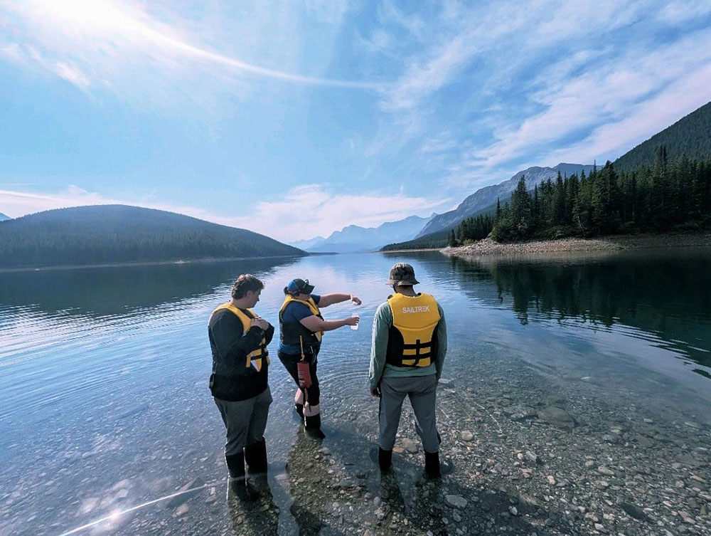
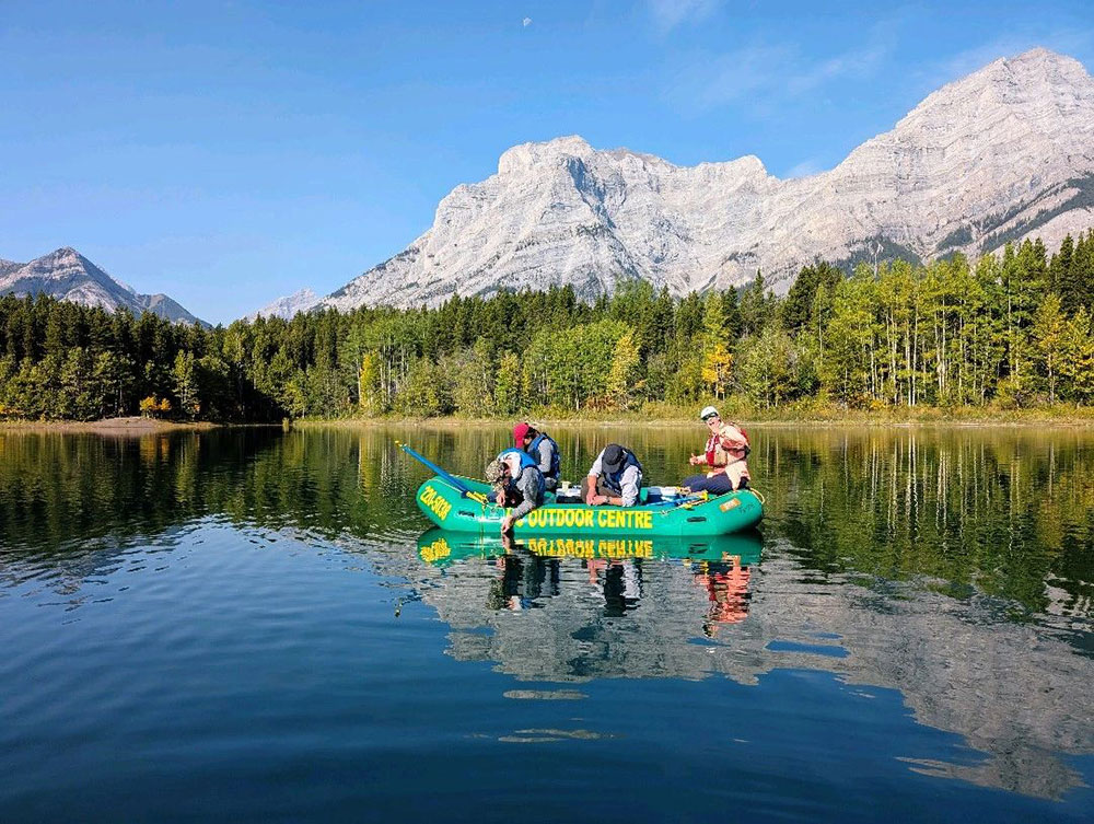
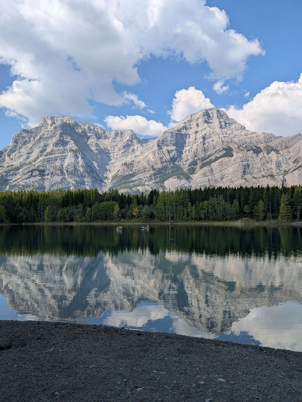
🚣Day 5: All aboard for depth-specific lake water sampling.   

*Photos courtesy of Pieter Aukes

A group of students installing meteorological equipment in a field
Day 1: Install meteorological data collection stations at the University of Calgary’s Barrier Lake Field Station.
A person standing next to a river
Day 2: Take a river cross-section survey of the Kananaskis River and quantify river flow.
A group of people standing in a river
Day 2: Take a river cross-section survey of the Kananaskis River and quantify river flow.
A group of people standing on a rocky shore
Day 3: Learn about water quality along the river and build sampling skills.
A group of people standing on a road with mountains in the background
Day 3: Learn about water quality along the river and build sampling skills.
A group of people in life jackets
Day 3: Learn about water quality along the river and build sampling skills.
A group of people sitting on a rocky shore
Day 3: Learn about water quality along the river and build sampling skills.
A group of people in safety vests standing on a rocky hill
Day 4: Explore the connections between rocks and water, plus groundwater sampling.
A group of people in a field
Day 4: Explore the connections between rocks and water, plus groundwater sampling.
A group of people standing around a table with a computer and other objects
Day 4: Explore the connections between rocks and water, plus groundwater sampling.
A group of people in a boat on a lake
Day 5: All aboard for depth-specific lake water sampling.
A group of people walking on a rocky shore by a lake
Day 5: All aboard for depth-specific lake water sampling.
A lake with mountains in the background
Day 5: All aboard for depth-specific lake water sampling.
Our Strategic Plan 2025-2028: How we work and learn
a view of the moutains and stream in between

Oki, Âba wathtech, Danit'ada, Tawnshi, Hello.

SAIT is located on the traditional territories of the Niitsitapi (Blackfoot) and the people of Treaty 7 which includes the Siksika, the Piikani, the Kainai, the Tsuut’ina and the Îyârhe Nakoda of Bearspaw, Chiniki and Goodstoney.

We are situated in an area the Blackfoot tribes traditionally called Moh’kinsstis, where the Bow River meets the Elbow River. We now call it the city of Calgary, which is also home to the Métis Nation of Alberta.