
Programs
- Certification type
-
 Diploma
- Availability
- International Students Accepted Not PGWP eligible
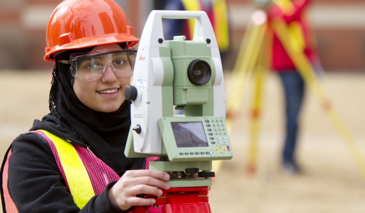
Study land surveying, remote sensing, cartography, geographic information systems (GIS), global navigation satellite systems (GPS), photogrammetry, geography and digital mapping.
- Program length:
- 2 years
- Location:
- In person (Main Campus)
- Faculty:
- School of Construction
- Certification type
-
Applied Degree
- Availability
- International Students Accepted PGWP eligible
Study to be a geographic systems (GIS) technologist, technician or analyst for a range of industries, from forestry and natural resource exploration to government.
- Program length:
- 2 years
- Location:
- In person (Main Campus)
- Faculty:
- School of Construction

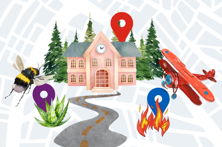
From bees to trees: 3 student projects show that GIS is everywhere
Student capstone projects explored applications for geographic information systems
Contact us
School of Construction
CB410, Aldred Centre, SAIT Main Campus
- Phone
- 403.284.8367
- Phone
- 403.210.4271 (fax)

Oki, Âba wathtech, Danit'ada, Tawnshi, Hello.
SAIT is located on the traditional territories of the Niitsitapi (Blackfoot) and the people of Treaty 7 which includes the Siksika, the Piikani, the Kainai, the Tsuut’ina and the Îyârhe Nakoda of Bearspaw, Chiniki and Goodstoney.
We are situated in an area the Blackfoot tribes traditionally called Moh’kinsstis, where the Bow River meets the Elbow River. We now call it the city of Calgary, which is also home to the Métis Nation of Alberta.