Education
Taher received his B.Sc. in Civil Engineering, and M.Sc. in Surveying and Photogrammetry from Ain Shams University in Cairo in 1996 and 2002 respectively. He also received his Ph.D. in Geomatics Engineering from The University of Calgary in 2009.
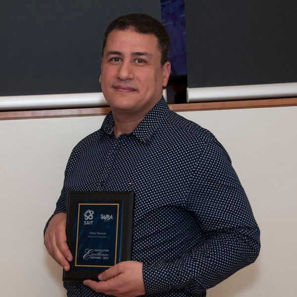
Professional accomplishments
Taher is a professional engineer registered in the province of Alberta. Taher has twenty-five years of experience in various civil engineering disciplines including but not limited to geomatics, structural, and transportation engineering. His Geomatics expertise covers a wide range of fields like photogrammetry, geodesy, digital terrain modeling earthworks, and deformation monitoring. Building information modeling and drone applications in Civil engineering are Taher’s latest interests.
Taher acted as Secretary working group I/3 Commission I “Multi-Platform Multi–Sensor Inter-Calibration”, The International Society for Photogrammetry and Remote Sensing (ISPRS) from 2008 to 2012.

Oki, Âba wathtech, Danit'ada, Tawnshi, Hello.
SAIT is located on the traditional territories of the Niitsitapi (Blackfoot) and the people of Treaty 7 which includes the Siksika, the Piikani, the Kainai, the Tsuut’ina and the Îyârhe Nakoda of Bearspaw, Chiniki and Goodstoney.
We are situated in an area the Blackfoot tribes traditionally called Moh’kinsstis, where the Bow River meets the Elbow River. We now call it the city of Calgary, which is also home to the Métis Nation of Alberta.