How one SAIT alumnus is innovating the avalanche industry
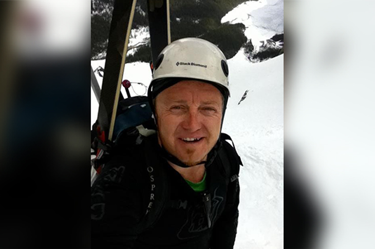
When a family emergency forced Nathan Kneisel to turn down contract work as a field wellsite geologist, he needed to transform his career to bring him closer to home. He wanted to build on his education instead of starting from scratch — and make sure he could get hired when he graduated. That led him to SAIT’s Bachelor of Applied Technology Geographic Information Systems (BGIS) program.
“SAIT’s BGIS program advertised access to leading technology. I knew I wanted to join the Centre for Innovation and Research in Unmanned Systems (CIRUS) lab as both a capstone and practicum student.”
Kneisel was selected as a capstone student by the CIRUS lab at SAIT, where he was tasked with solving a real-world avalanche hazard problem for Resorts of the Canadian Rockies (RCR) Fernie. Combining his avalanche/ski guiding and geology experience with the geographic information system (GIS) skills learned through his program, Kneisel and project partner Derek Dumigan created the AviAPP for RCR Fernie. The app uses 3D GIS, unmanned aerial vehicle (UAV) remote sensing and mass movement modelling technology to record and help researchers predict avalanches.
From ski guide to AviAPP creator
What were you doing before you decided to come to SAIT?
I have a Bachelor of Science in Physical Geography. I’ve been a self-employed owner of a consulting geology and ski guiding company, the GeoScape Group Inc, working on oil and gas contracts and guiding locally and internationally in Japan and South America. I was also on the Discovery Channel show License to Drill as a wellsite geologist.
What really stood out about your experience at SAIT?
My capstone partner (Derek Dumigan) and I were awarded a spot to present at the first Virtual International Snow Science Workshop (VISSW 2022) in Fernie, British Columbia. For my team’s project, we utilized our BGIS toolset, along with our previous educational and professional backgrounds, and designed our app to use the leading UAV remote sensing tools from the CIRUS lab. We presented AviAPP to industry leaders globally and also won the SAIT Innovative Student Project Award in 2020. RCR Fernie Alpine Resort was the first to use the AviAPP to streamline snow and avalanche data into the Canadian Avalanche Association’s InfoEX database to assist with their daily avalanche hazard prediction and mitigation workflow.
VISSW 2020 sponsor TECK-Sparwood took notice. We were selected to complete a practicum with the CIRUS lab and tasked to enhance UAV highwall geology mapping for TECK-Sparwood using the same technologies we used for the AviAPP.
The TECK practicum opportunity allowed me to research the limits of UAV remote sensing technology to solve geological acid rock mapping problems. This led me to develop the GeoAPP, which is now helping solve geotechnical problems on pipeline projects.
How did the BGIS program help you get where you are today in your career?
SAIT provided me with solid training in technology, relationships with industry partners to solve real-world problems and a window into the CIRUS lab’s fleet of cutting-edge UAV remote sensing tools. My work on the AviAPP and GeoAPP was noticed by industry, and I’ve since put this technology to work at Thurber Engineering Ltd.
Is the sky the limit for continued SAIT GIS, CIRUS Labs and industry collaboration?
Absolutely. Even though COVID-19 protocols limited my ability to take flight with the CIRUS Lab’s equipment during my practicum, I am now flying UAV remote sensing for work at Thurber.
How did the hands-on learning and practicum experiences in the BGIS program contribute to your education at SAIT?
The technology I had access to at SAIT allowed me to turn my academic and industry training into building blocks I could use to create innovative tools for the avalanche and geotechnical industries. I learned so much by grasping all of the tools that SAIT had to offer.
Avalanche and landslide prevention are just two examples of how GIS technology has recently become one of the fastest-growing information technology sectors. To learn more about joining this exciting industry, explore SAIT’s Bachelor of Applied Technology Geographic Information Systems.
Industry Driven
We prepare students for successful careers and lives.
SAIT'S
2020-2025
Strategic plan